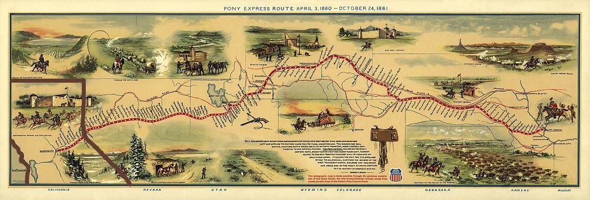
California Stations
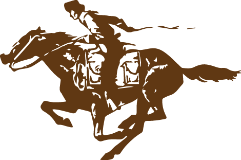
California’s gold was very important to the Union, so communication with the state was critical to keep it from seceding, along with the southern states. The Pony Express helped to keep California in the Union by delivering President Lincoln’s March 4, 1861 inaugural address in 7 days, 17 hours.
- Woodford’s (used only during April 1860)
- Fountain Place
- Yank’s / Myers / Meyers
- Hope Valley / Sorenson’s
- Phillips
- Strawberry / Strawberry Valley House (FYI: It is reported that Mr. Berry, the station operator, fed the stock straw—but charged for hay!—or, maybe there were, indeed strawberries to be found growing in the area.)
- Split Rock
- Webster’s / Sugarloaf House / Silverfork
- Moss / Moore’s / Riverton / Mess
- Pacific House
- (H) Sportsman’s Hall / Twelve Mile
- Placerville / Hangtown / Old Dry Diggins / Ravine City (FYI: During the first several months, a “southern” route, using stations 13-15, was followed to Five Mile House; later, a “northern” route that used stations 16-18 was used.) On July 1, 1861, Placerville became the Western Terminus.
- El Dorado / Mud Springs / Nevada House
- Mormon / Mormon Tavern / Sunrise House
- Fifteen Mile House
- Diamond Springs
- Durco / Duroc House / Pleasant Grove / Pleasant Grove House / Shingle Springs
- Folsom (On July 1, 1860, Folsom became the Western Terminus)
- Five Mile / Five Mile House / Mills
- (H) Old Sacramento: B.F. Hastings Building – “Western Terminus”
- Water Route: Sacramento to San Francisco via the American River on a steamboat or, if they missed the boat, overland from Sacramento:
- Benicia / Benica
- Martinez
- Oakland
- San Francisco – Western Headquarters
LEGEND:
(H) = Home Station (some of these changed over time, as needed)
Bold = Station Name on the original U.S. Senate Executive Document, 46th Congress, 3rd Session, I, No. 21 p.7-8 “Contract with Overland Mail Co” “Route 10773”
Italics = Station Name listed on the 2010 Map prepared by the National Pony Express Association and produced and printed by the National Parks Service to celebrate the Pony Express Sesquicentennial.